


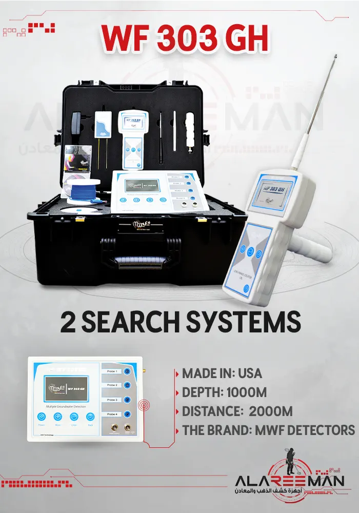
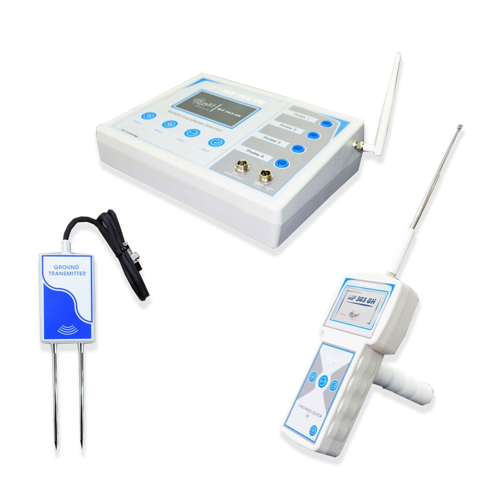
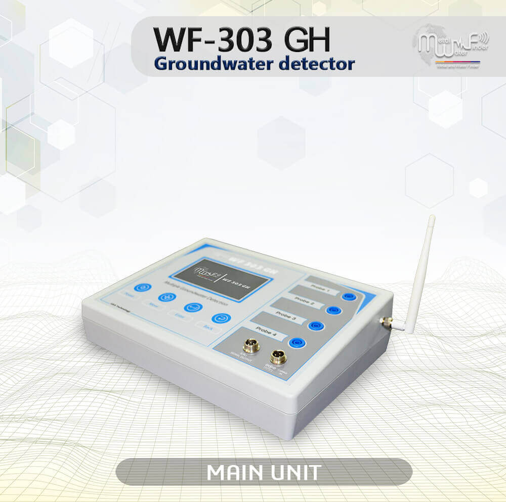
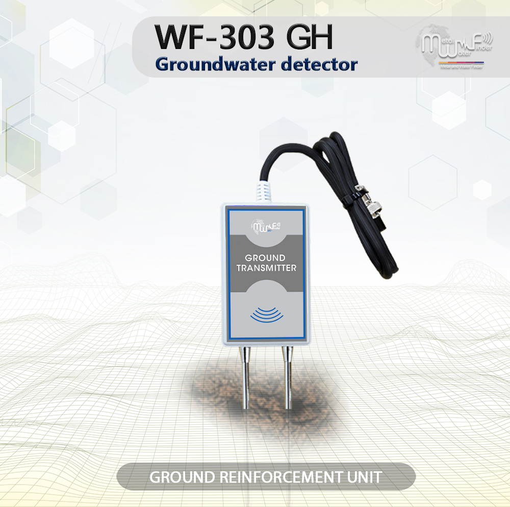
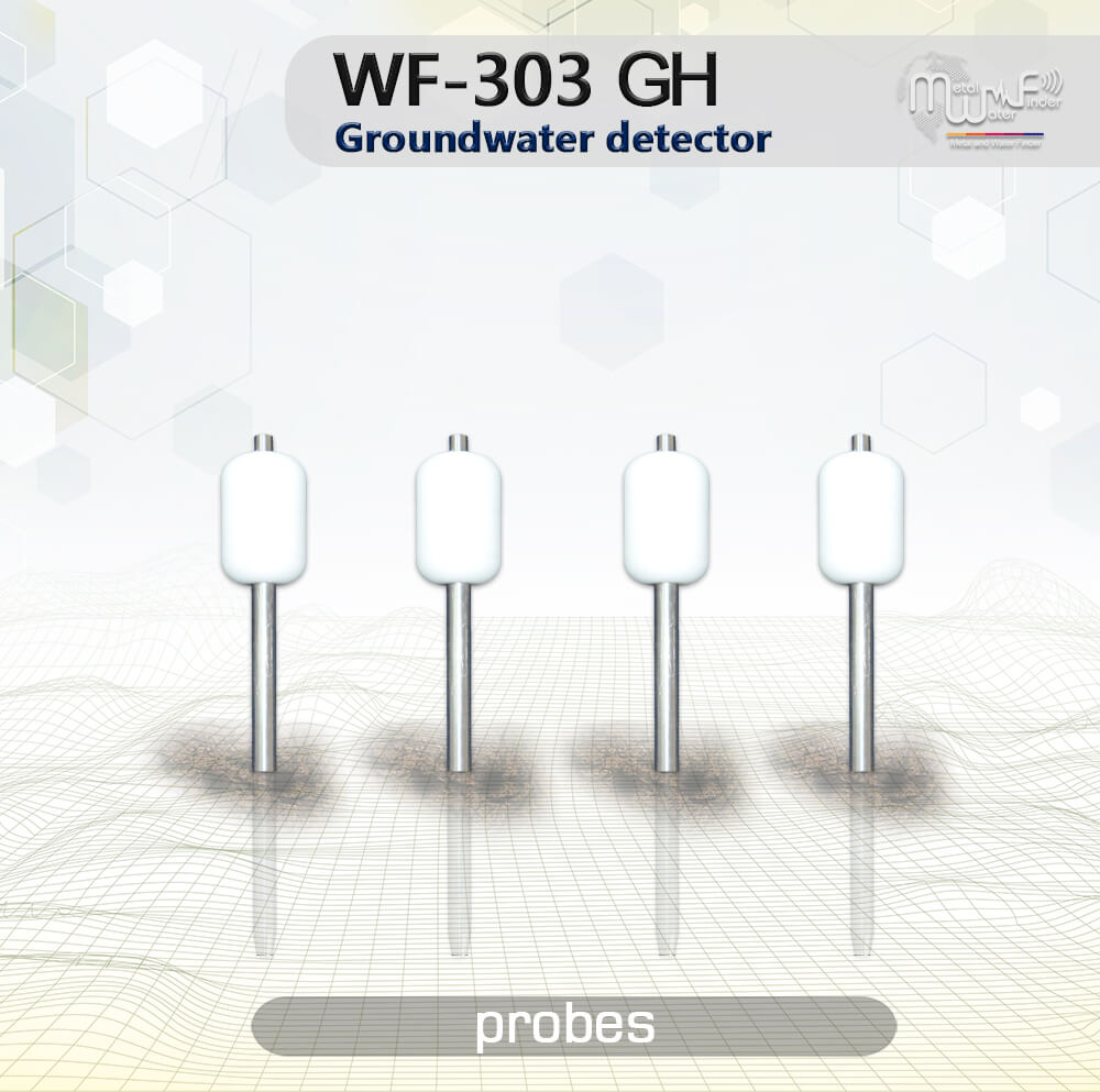
WF 303 GH
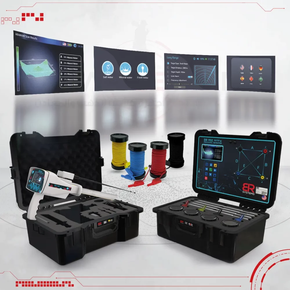
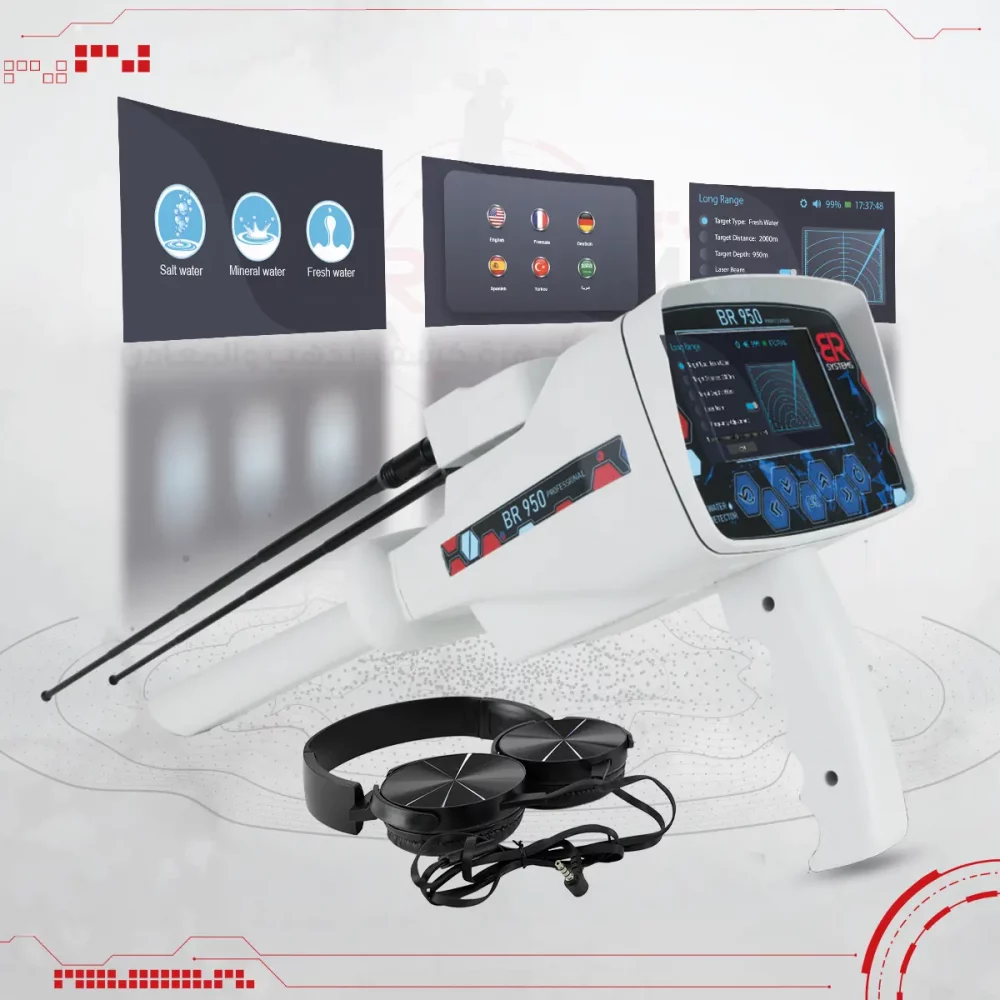
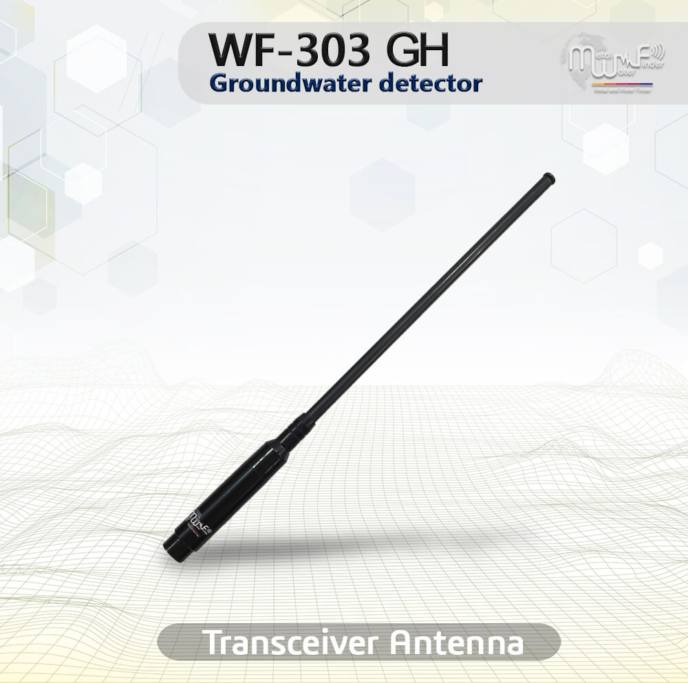
• Handheld LRL system: The advanced and all-new long-range search system with high sensitivity and advanced features, Automated tracking system for accurate tracking of the water point path, audio results and digital indicators on the screen, determines the point of drilling for water with precision, with full control of search properties and criteria, the depth of search up to 1000 meters, and covers a forward search distance of 2 km with accurate control of search coordinates.
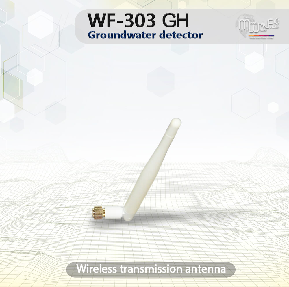
• The user can be work on this system through a separate unit, take the search commands and settings by wireless from the main unit or even work on them separately and complete the settings directly from the unit, this system allowing the user to track the water direction accurately to determine the drilling point of water.
• Integrated data provided by this system, audio data, smart water location tracking system, track correction feature to track the water location to avoid drilling errors.
• The user can set the search criteria in advance according to the search requirements:
• The user can choose the type of water to be detected in advance: Natural fresh water – Mineral water – Salty water – and all types of water.
– Can be set the search distance level in advance: 100m – 250m – 500m – 750m – 1000m – 1500m – 2000m.
– Can be set the search depth level in advance: 50m – 100m – 250m – 450m – 600m – 800m – 1000m.
 Click here to view and download